Survey, assess and plan land under the Statutory Biodiversity Metric, from a desk baseline to a signed-off report, a habitat management plan and 30 years of monitoring. On your phone in the field, or at your desk.
Every figure follows Natural England's published methods, and every output is one a planning authority or buyer will recognise.
Outline the land and Acre reads the national datasets for it: priority habitats, Living England, designated sites, flood zones and more. You start with a draft baseline, not a blank page.
Natural England's condition assessment sheets, criterion by criterion, with their footnotes. They work offline and sync when you're back in signal.
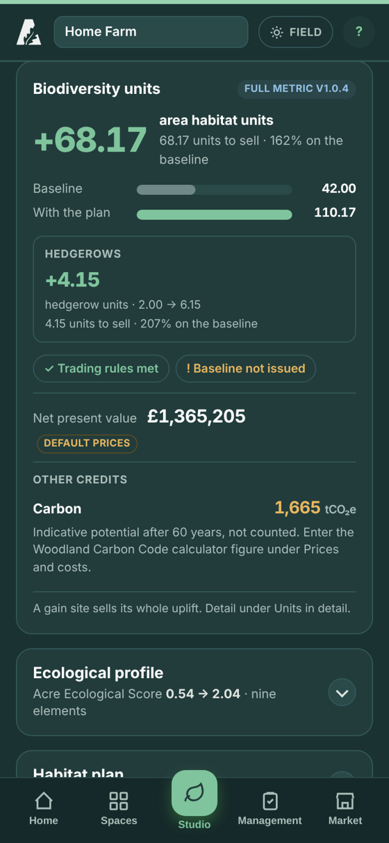
Area, hedgerow and watercourse units under the Statutory Biodiversity Metric, checked against Natural England's own workbook. You can export the filled-in official workbook.
Freeze the baseline with a competent person's sign-off. Then share a read-only link with a planning authority or buyer, for the baseline or the whole plan.
Plan the enhancement, build the management tasks, and produce the habitat management and monitoring plan. Then record each monitoring survey against its targets.
Compare biodiversity units with Woodland Carbon Code, Peatland Code and nutrient credits, so each site is put to its best use.
Firms work together under one account, with owner, manager and surveyor roles and a full change history.
Manage every holding you look after in one place: baselines, plans, management and monitoring, shared with your team.
Find out what your land could deliver, plan the uplift, and put it in front of developers who need off-site units.
Check whether biodiversity net gain applies, assess the site, and see how far the plan gets towards the 10% gain.
Acre Network is in a trial with invited firms. Accounts are by invitation.
